PostMarks: data collection
I’ve been commissioned by Ikon Gallery to work with a few different groups on various projects. The first of these is an established group that has been involved in an international project exploring mark-making and cities (I believe there are parallel groups in Germany and Italy).
I’ll be supporting their work with my GPS-related tools and strategies for documenting traces of spaces. A few days ago we began our first wave of data collection around the Austin Village between Northfield and Longbridge.
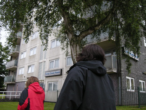
Thursday was a dismal day with portentous dark clouds, intermittent downpours and the accompanying gridlocked traffic. Already loaded with prejudices, a cold, a less-than-positive mood and, having done our introductions in front of a typical Birmingham tower block, it’s fair to say I didn’t have particularly high expectations of a great evening.
I was wrong. It was of course thoroughly enjoyable and I learned loads!
And wow, Austin Village is an interesting place. The first sign that something different was going on here was another tower block further into the estate. This one was subtly not your typical Brummie block, however… Painted in pale greens it first caught our eye for being lighter than the ominous sky behind it but as we pondered more we reflected that it looked like it had come from some place other: somewhere by the coast? Somewhere within mainland Europe? Teleported in?
This is where we first had the sense that we might be inside some sort of conservation area. The history of the area is well documented elsewhere, so I won’t reproduce it here. Try Austin Memories and Stuart Whipps’ photos of the wooden bungalows (you need to scroll across the page to see them all).
For our research, we togged ourselves up with as many sets of GPS logging kits as I could muster and also the landscape-reactive sashes to link us together as a group.
In addition to gathering numerical data (“when we put the sashes on we felt like a slow-moving version of the Red Arrows leaving the data lines behind us instead of trails”) the group also did some drawing and mark-making onto postcards as first steps towards responding to some work that had been sent to them by the German group.
There was no plan for what route we took (in fact I was thoroughly disorientated for much of the evening!) and we tried to defer decision-making to the group as often as possible.
Here are a few things I came away with…
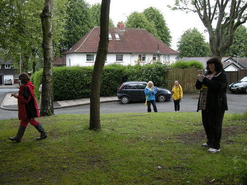
I like the way the group combined elements of drifting with repetitive formulaic movements. Here they walked up and down a side track, prompting a resident to come out of his house and ask if he could help them at all.
The distinctive road layout in the village includes 4 islands. Normally I’d demonstrate my non-Brummie origin by calling them ’roundabouts’, but in this case they really did feel like islands!
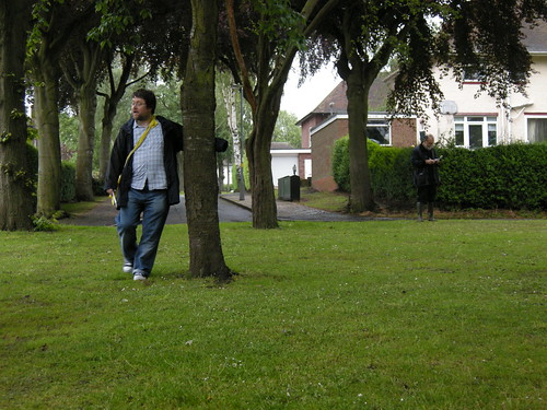
Large enough to be covered with lots of trees, there was a nice moment looking in from the side, watching people pacing around and absorbed in their mark-making that was very reminiscent of the human library scene from Fahrenheit 451!
I’ve also read that originally 2 of the 4 islands also had octagonal shelters for children to play in. I like the echoes of that in this image.
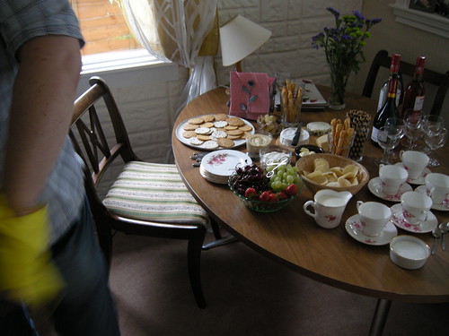
After the walking we had a fine treat from one of the people/participants/artists who had invited us into her home for an inside view of one of the bungalows and an amazing spread of cheese and other goodies. This was a completely different perspective on the landscape: thumping the original (close to 100-year-old) cedarwood window frames; listening to the trains go past; watching her eyes track the locations of the homes where deceased neighbours had lived.
The rest of my photos are in this Flickr set.
I think the main point of writing this post has been for it to act as a reminder to move past pre-judgement and assumption; to look beneath the surface. To dig deeper.
We’ll all be meeting up again in a week or two to look at the data we collected and try out different ways of transmogrifying it into something else.


