November 9, 2013

PacGhost

Last (Halloween) weekend required me to have an illuminated bike for an overnight cycle ride ‘twixt York and Whitby…

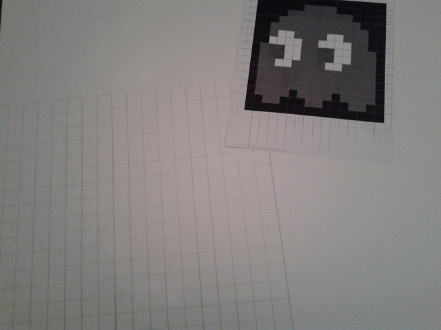
Transferring the design

Building up the panel in PVC foamboard (spork for scale)

RGB LED

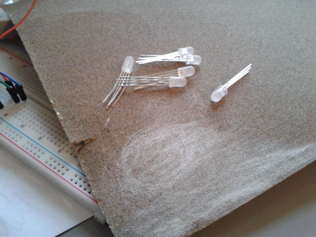
Diffused RGB LEDs

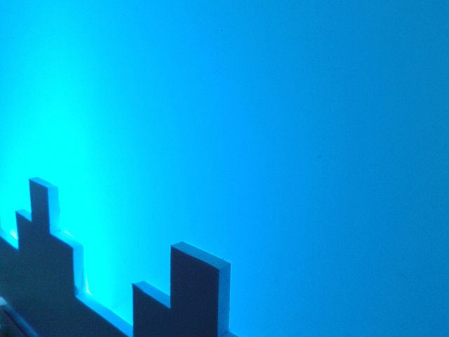
Illumination test

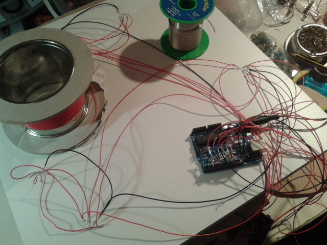
Adding in microcontroller and wiring

Painted panel

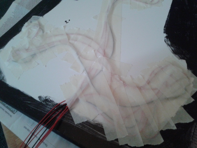
Masking tape over the wires. (Followed by gaffa and a carpet panel.)

Midnight at York railway station

In situ and in the wild

It was a bit foggy. (Photo: andrewclark)

…until it was dawn, and then it was a bit high up. (Click to embiggen.)

Goth-lure mode installed in window at Whitby


Credit: A C

Coming up: The Mad Hatter’s Magic Tea Party

On Saturday the 19th of October I’ll be down in Bristol helping Watershed host The Mad Hatter’s Magic Tea Party – the only logical thing to follow up a family screening of Alice in Wonderland.

I’ll be enlisting the diners’ expertise to try and pin down what the Jubjub bird (mentioned in The Jabberwocky) looks and sounds like.

Here’s a sneak peek at how we’ll be going about that:

Many thanks to everyone who responded to my Twitter crowd-sourcing request and sent me a voice recording of what they thought the Jubjub sounds like – the above video is just a small selection.

Venue-hunting for Bees in a Tin conference

I’ve spent the Summer working on a residency hosted by The Public in West Bromwich where I’ve been designing and delivering a programme of events related to maker culture and DIY technology.

Different events have been aimed at different audiences. You can see the results at http://manyandvaried.org.uk.

One last event remains: Bee in a Tin. Nominally aimed at artists, but you can read that as something like “people dedicating sustained effort to interesting projects”. We’re all very excited about this, but there’s one catch. The Public as we know it is being shut down by Sandwell Council at the end of next month.

This means many things, amongst which is the need for me to find an alternative venue for the conference.

Please can you help me compile a shortlist of possibilities?

Here’s what I’m after:

  • Somewhere that can accommodate around 50 people doing a range of presentations, workshops and more active playtesting (likely to involve going outside).
  • Preferably ‘slightly scruffy’ (i.e. people aren’t afraid to colonise the space and inhabit corners for making stuff etc.
  • Wi-Fi
  • Plentiful supplies of electrons
  • Heating (we’re aiming for a February/March date)
  • Low-ish hire rates (my budget was based on free venue hire at The Public!)
  • Probably restricted to either Birmingham-ish or Bristol for geographical reasons…

I can be pretty flexible, but the kind of thing I have in mind is the 2011 GLI.TC/H Festival which hit a sweet spot with size and malleability of space. (There are some photos here, but I’m not sure how much of a sense of the space they convey.) Basically the old VIVID space would have been ideal.

What can you suggest as alternative?

Coming up: Yamanote Stories at Pecha Kucha Coventry

Tomorrow I’m one of the presenters at Pecha Kucha Night Coventry, this time in turn part of the Japanese Cultural Festival being run by The Tin Music and Arts.

This means entry is free and there’s karaoke afterwards should you so fancy it!

Using an edited map to navigate around Tokyo

I thought the Japanese theme would be a good excuse to look again at a project I did back in 2006: Sites of Potentiality Guidebooks: Yamanote Line. 29 not-quite-random walks in Tokyo looking for Interesting Things.

PKNCov regulars may remember the Invite Boredom presentation Paul Conneally talked about a year or so ago:

Pecha Kucha Coventry | Vol 8 | Paul Coneally from MINDRIOT PRODUCTIONS on Vimeo.

This is very much a precursor to the Invigilator project and probably sets the scene for most of my practice since then!

See you at the Coal Vaults at 7pm.

Birmingham – York: the ride

I did it!

240 miles on a bike and 6 days’ worth of data beamed in near-real time to a reactive sculpture back in Birmingham.

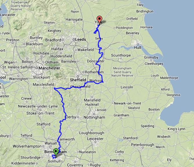
The route I took between Birmingham and York

Kim Wall joined me for the second half of the journey, but for the first 2 and a half days it was just me, my bike and some camping gear, slowly making my way northwards and up and over the Peak District.
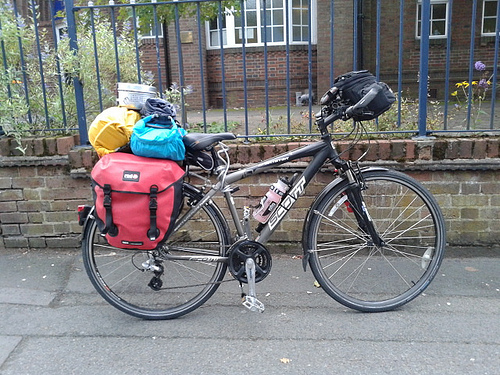
My bike as I left South West Birmingham

On my first night I was to be camping at Marchington Cliff near Uttoxeter. A not-too-shabby ride of about 55km if I had taken a direct route, however I wanted to ride along as many disused railway lines as possible as a nod to the project’s origins in response to the Duddeston Viaduct.

A detour to take in the Harborne Walkway added a bit more to the journey, mostly because I then also had to loop back down and around the city centre in order to avoid some canal towpath that would have been a bit of a ‘mare to try and ride along on a loaded bike.

Worth it though – I love how the Harborne Walkway is a hidden gem of a path, rising up above the houses in its own leafy world.
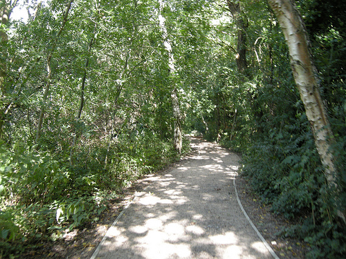
The Harborne Walkway

After negotiating the canal towpath under Spaghetti Junction and out of Birmingham, I was on to unfamiliar territories. I very much liked sweeping across Pipe Hayes Park and riding along the New Hall Valley Cycle Route.

After lunch at Sutton Park, I was soon out into the countryside proper and enjoying cycling along the lanes.
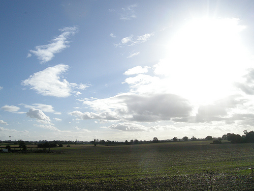
I’m not sure where this was, but it wasn’t in Birmingham

Lovely though it all was, 75 kilometres into the adventure I was very, very ready for the campsite and a chance to stop and rest. I just about got my tent pitched as the rain arrived.

Waking early the following morning, but expecting rain again by 9am, I made the most of some sunshine and got packed up as soon as I could.

Early morning sunshine in Staffordshire (click for full size version)

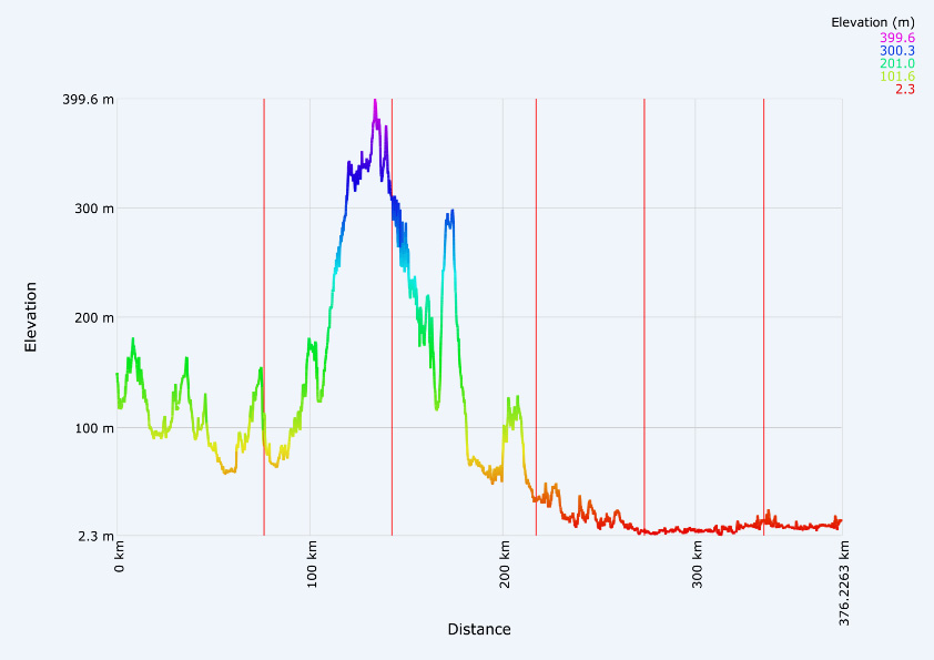
Tuesday was going to be the toughest day on the ride – climbing through the Peak District to get to Buxton. Here’s the elevation profile of the ride to put it into context: Monday had been a bit up and down, but Tuesday was up. A lot of up.

Elevation profile, with red vertical markers showing the split for each day

The Met Office’s radar map for rainfall showed a great big patch of intense yellow unleashing itself on the Peak District in the afternoon, so all the way to Ashbourne I was wondering if perhaps I should re-think and find an alternative means of transport rather than cycling an exposed off-road trail.

The rain was just starting as I got to Ashbourne and I thought I’d better check in with the tourist office to check on the sanity of what I was about to do, however a chat with a local outside Sainsbury’s put my mind at rest and I decided to get on with it.

The Tissington Trail was a gentle but constant pull uphill over its 13 miles. Similarly for the drizzle. I passed a few walkers and a handful of other cyclists, but for the most part I had it all to myself.

Panorama from the Tissington Trail (click for a full-sized version)

Lunch and a few fettling stops were taken whilst sheltering under bridges.
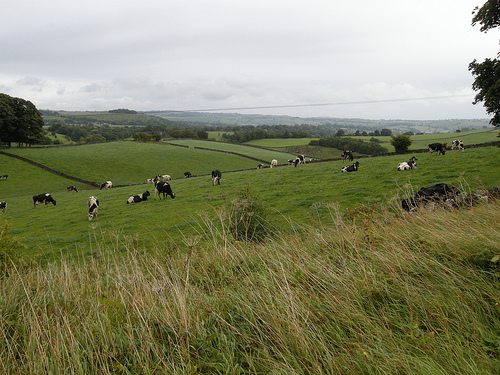
The photo doesn’t really do the view justice, but it was a great feeling when the trail emerged from under the tree cover and I found myself up on top of the hills

That night I stayed at the house of a friend’s parents, making full use of the drying facilities, curry supper and maps. Lots of maps.
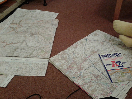
Applying local knowledge, A-Z, road atlas, Ordnance Survey and various online tools to re-think the route

After the Tissington Trail I’d joined the High Peak Trail before then having to use main roads coming into Buxton. Unhappy about using these roads again (too many large, fast quarry lorries), and with much help from my hosts, I changed my plans for the following day and, instead of exiting Buxton via the High Peak Trail, on Wednesday I took the Monsal Trail instead.
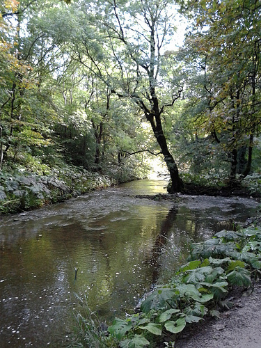
The Monsal Trail alongside the River Wye near Blackwell Mill

The River Wye was looking gorgeous with the sun nice and warm. Not that that helped much a bit further on once the trail started carving its way through the rock…

Sunny + shady

The trail goes along the Wye valley, except for when it goes in the Wye valley

I stopped and started a bit to take photos and peer over the edge every so often, although I have to say that being on foot would probably have given me a greater appreciation of the viaducts which I didn’t really get to see properly.

After leaving the Monsal Trail at Great Longstone I was back onto lanes and gradually working my way out of the valley. Hard work, but a mere warm-up for the hill up out of Baslow. That was 20 minutes of hard grind! Once at the top though, it felt like I was on top of the world! As noted; this is the sort of place where rivers are born.
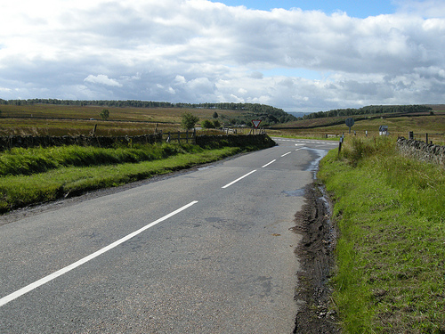
Looking back, up on Ramsley Moor

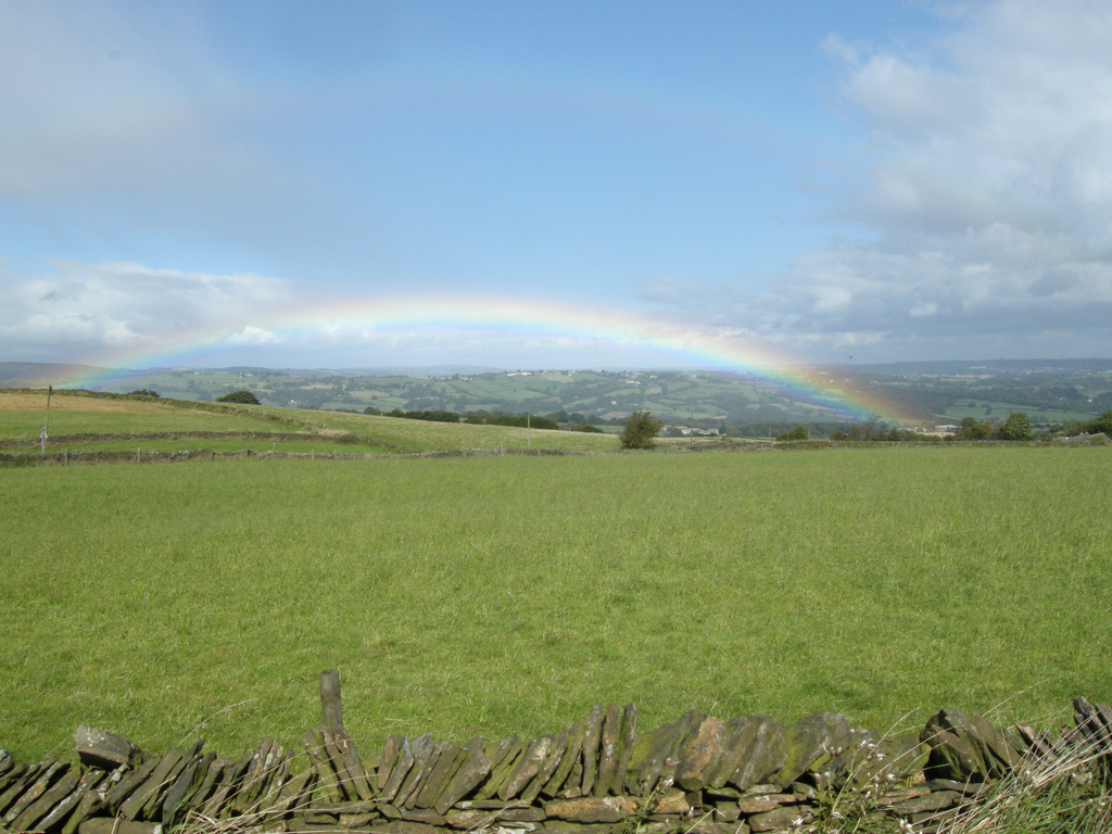
I had a reminder of this in the form of a rainbow that appeared to my left, but fortunately I stayed on the sunny side and had a speedy freewheeling descent into Chesterfield with my speed rarely dipping below 30 kph.

(click for larger version)

Once in Chesterfield I met up with Kim and we set off along the canal and various other incarnations of the Trans Pennine Trail. I was very impressed with the TPT and indeed we were enjoying blatting along it so much that we over-shot where we were supposed to leave it to head out towards Worksop and that night’s campsite.

Thursday’s ride was a shortish one of about 56km, a bit of a slog along rainy, busy roads into Doncaster and then a brighter final leg with a tail wind into the flatlands of the Vale of York.

Friday was my first experience of the Vale proper. Mostly this seems to consist of viewing power stations from a variety of angles without them getting noticeably closer at any point…
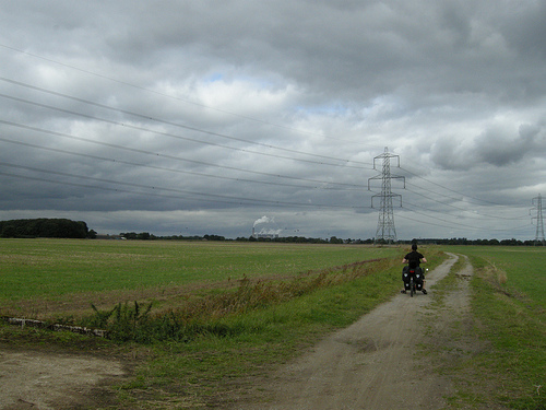
Lots of open space and Drax, or Eggbororough, or…

Conveniently, the Trans Pennine Trail ran from right near our campsite all the way into York, so this was a very pleasant day’s riding along quiet lanes and other interesting bits and pieces.

Breighton Airfield. (Click for a larger version …and a better view of the distant power station…)

And the power stations; always the power stations.
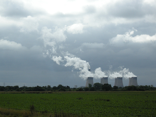
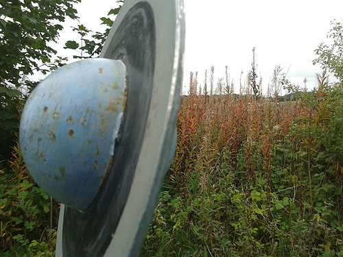
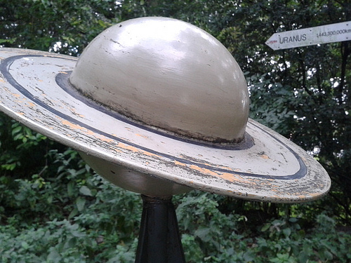
When we got to Pluto, I knew we weren’t too far from York.

This grey and gold field was the point where I felt I had finally made it to York:

But we officially marked our arrival with a photo on the Millennium Bridge before making our way to our host’s house and a well-earned bath. Oh, and a gig. *zonk*
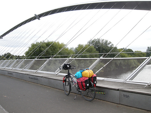
#YorkRode

That then just left Saturday morning to provide the pedalling to wrap up the sculpture’s official run. With a local guide and no camping gear whatsoever, we headed out into the lanes South West of York and had a very pleasant few hours that, by chance and careful planning, ended up at The Blacksmiths Arms in Naburn.
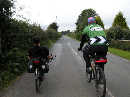
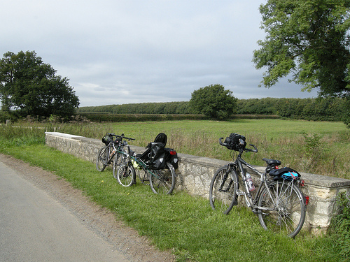
It’s been one of those epic efforts and journeys into the unknown that’s needed looking at the lines on the map and all the photos to really begin to take in how much ground was covered and how many new things encountered. There were a few times when I was considering bailing, but on the whole there was some very nice riding and I’m very, very chuffed at what I managed to achieve.

Thanks to everyone who helped me on my way!
Birmingham – York : the route

So, in an hour or two’s time I’ll set off on a 200+ mile journey to cycle from Birmingham to York.

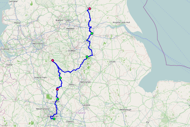
Birmingham to York, via a slightly lumpy bit

This project has its roots in the Duddeston Viaduct stretch of railway-line-that-never-quite-was, and so my route to York has been designed to incorporate several disused railway lines…

(click through to go to the images’ sources on Flickr)

Day 0

Ride (Birmingham - York)

As part of the launch event, I invited people to accompany my on a ride to Longbridge.

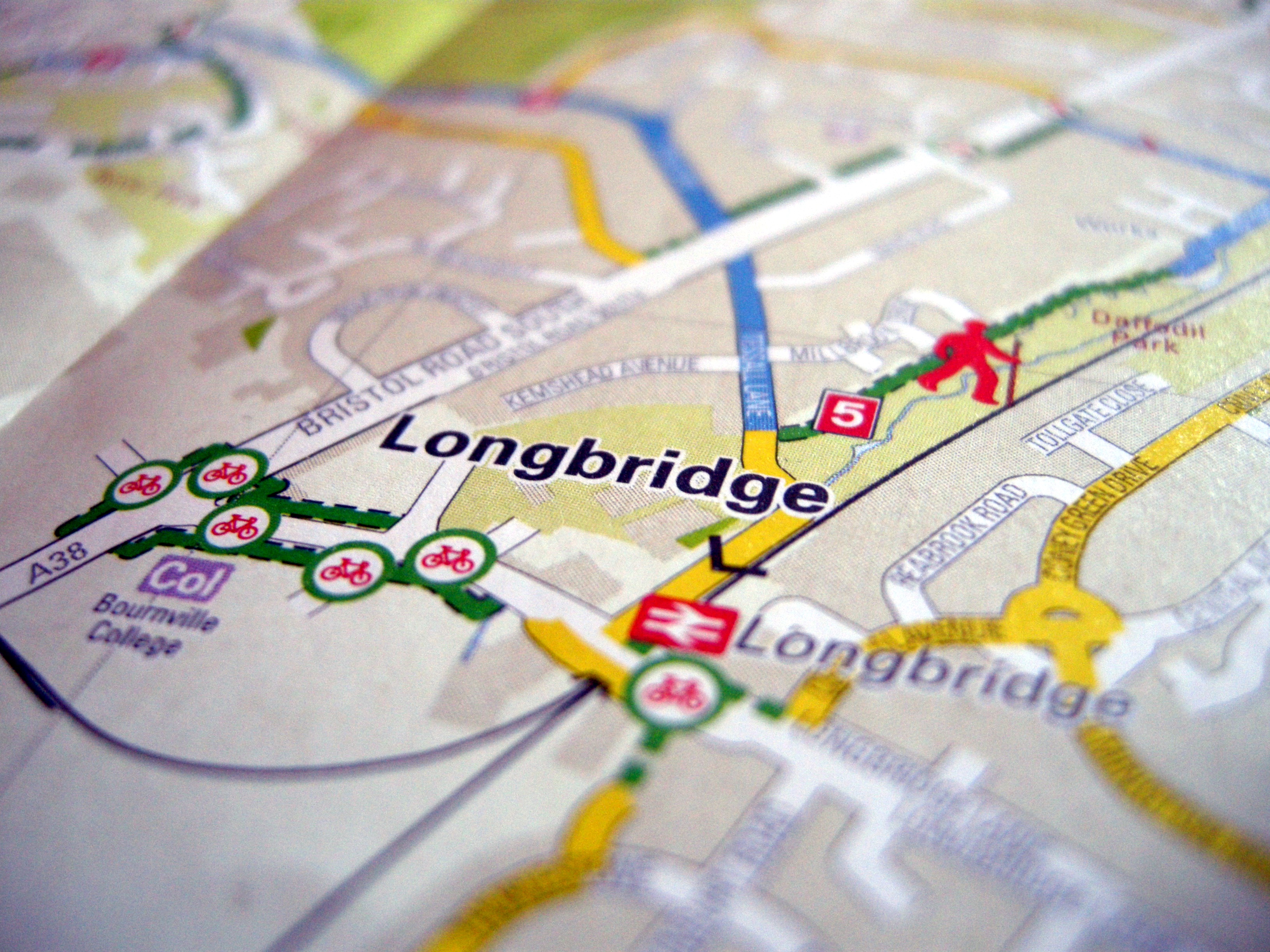
Bournville College’s new campus is on the site of the old Rover car factory. I’ll possibly be part of a programme of artist residencies taking place in the area later in the year, and as part of our initial discussions I heard about the railway line that used to service the plant.

Day 1

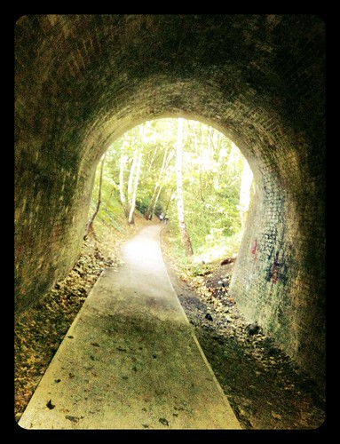
260/i365 Tunnel

On my first day I’ll be cycling up the Harborne Walkway, the remnants of the Harborne Railway.

Day 2

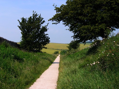
The Tissington Trail in Derbyshire

On Tuesday I’ll be joined by Kim Wall and we’ll cycle up the Tissington Trail to Buxton in the Peak District.

Day 3

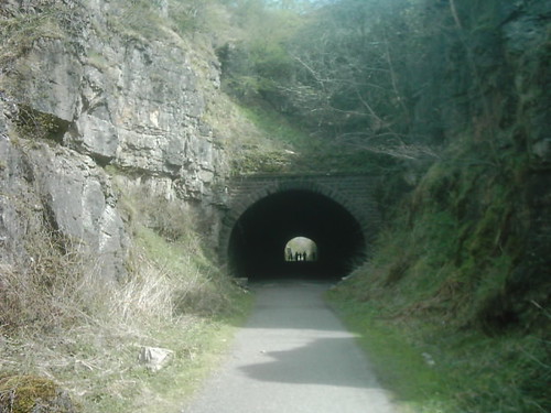
High Peak Trail, Derbyshire

Wednesday: The High Peak Trail. Fortunately in the downward direction!

Later in the day we’ll also ride along the Silverhill Trail. [some images here]

Days 4 & 5

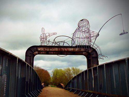
The Fisher of Dreams Sculpture on TPT Naburn Marina on River Ouse - Cropped

Here our route goes along the Trans Pennine Trail in places, including the rather marvellous sounding scale model of the solar system.

Effort

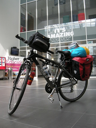
We’ll mostly be camping en route, so this is the sort of load I’ll be carrying:

Ride (Birmingham - York)

I’m not sure how much it weighs, but suffice to say I can’t lift the back wheel when my bike’s loaded up like this! I’m hoping I don’t encounter too many awkward gates along the trails…

Connection:

Ride (Birmingham - York)

Ride (Birmingham - York)

As I cycle, I’ll be transmitting data connected to the effort I’m making to the sculpture that’s currently on display at Bournville College. 30 minutes behind me, the sculpture will react to my speed, bearing, altitude, time spent journeying and total distance travelled. There’s also an indicator for the accuracy of the GPS signal the data is derived from. Spend some time with the sculpture and see what connections you make…

Ride (Birmingham - York)

Landscape-reactive Sashes at Mobilities Futures

Last week I was up in Lancashire for the Mobilities Futures conference at Lancaster University. Mobilities has been brewing in the periphery of my awareness for a couple of years now, so it was great to get a chance to immerse myself in so many interesting streams of thinking.

I was part of the artists’ programme leading a workshop using the landscape-reactive sashes I developed with Fermynwods Contemporary Arts last year as a tool to feed into research for Colony.

The session was based around a small group of people wearing the sashes walking in a loose group, in silence, around the campus for about an hour. Naturally it started to chuck it down with rain just as the workshop started…

Brave souls venture out into the Weather

A quick redux for those that weren’t there: the sashes are connected by a mesh radio network, all receiving broadcasts from a central node. This central node is monitoring GPS data to get a measure of inaccuracies. These inaccuracies can be caused by many different things, but typically multipath error is the main candidate:

The multipath effect is caused by reflection of satellite signals (radio waves) on objects. It was the same effect that caused ghost images on television when antennae on the roof were still more common instead of today’s satellite dishes.

For GPS signals this effect mainly appears in the neighbourhood of large buildings or other elevations. The reflected signal takes more time to reach the receiver than the direct signal. The resulting error typically lies in the range of a few meters.http://www.kowoma.de/en/gps/errors.htm

Once it has a value for the degree of error, the central node then broadcasts instructions for the sashes to vibrate in a particular pattern. Thus the general pattern is that the more built up or undercover an area is, the greater the extent of error induced into the GPS data and the more the sashes vibrate.

In open areas people wearing a sash would typically feel a gentle pulse every 30 seconds or so. In areas where there is not such a clear view of open sky, the sashes vibrate for longer and more intensely.

Transitioning from an undercover area to a more open one

Out in the open, but with large buildings nearby. The response of the sashes may still be influenced by these – it depends on the position of the satellites

Being a fairly miserable Friday morning outside of term time, there weren’t many people out and about on campus as we drifted around. We were smiled at a few times and some of us were asked either for directions or if we needed directions.

The latter points to something interesting. Most of our sashes were covered up by coats in order to protect the electronics: in the absence of this signifier, the way in which we were moving slowly marked us out as being slightly different.

Afterwards, one of the participants – someone who works on the campus – commented on this change of speed and the opportunity it gave for reflective thought.

A few others too reported on how their thoughts wandered at different times. The vibrations from the sashes come through every 20 to 30 seconds and they’re pitched at a moderate level so that they’re there as a sense to tune into if you wish, but they also fade into the background if not.

At the end of the session we were able to take a quick look at a chunk of data rendered visually. After trying to relate the lines back to the landscape and the journey we’d made I then transferred the data to Google Earth. Ah! That’s where that happened!

In these visualisations the length of the lines relate to the intensity of vibration felt at that location at that time. The longer the lines the more vibration is felt

…and the same data in Google Earth superimposed over imagery showing the architecture on campus

I’ve made an A4 poster of all of the data from that day (the workshop and a test walk I did earlier in the morning) for you to download and print.

You can also download this .kml file for viewing in Google Earth if you’d like to see the data superimposed over imagery of the landscape.

My (somewhat grey and dingy) photos from the workshop are in this Flickr set.

Many thanks to the conference organisers, the workshop participants and everyone else at Mobilities Futures for a very interesting few days.

Igloo brainstorming with The Bone Ensemble

I spent this morning with The Bone Ensemble and Kim Wall brainstorming ideas and interactions for new work in development Igloo.

I’ll be working more with The Bone Ensemble later as part of an AHRC-funded CATH project that teams up academics, artists and creative technologist types, but for now Kim and I were in to bounce around some ideas and possibilities right at the early stages of the work’s development.

Igloo is intended to respond to themes of nomadic Inuit culture and some of the vocal traditions such as throat singing and playful contests.

The Bone Ensemble work a lot with performances to small audiences, particularly in settings away from the theatre. For example they are currently touring one that takes place in a caravan… The focal point for Igloo is therefore a domed structure that will turn up at festivals and be assembled in situ.

The temporary structure currently being used in place of the igloo for this R&D week at mac Birmingham

They’re interested in integrating digital technologies into the performance and structure, so my task today was to introduce them to some of the possibilities of working with sensors and interactive systems.

To aid this process I’d prepared a few Arduino-based demos that linked inputs such as sound volume, proximity and touch to outputs such as sound files and lights.

Singing to some volume-reactive LEDs

After working through some of the demos on a table-top we decided to move them into the temporary structure the performers are working with this week in order to get a feel for how they behaved in a much more spatial context.

I really like this piece of video taken as people found spaces in the igloo to house the different demos. There’s a system on the outside of the framework that’s sensing distance (to someone standing in front of it) and then using that measurement to trigger different files that play back notes in a do-re-mi style. I love how the performers start singing back to it as they’re installing the other systems!

The volume-reactive LEDs worked really nicely in the new set-up and we were able to shout, clap and stomp at them from different locations from in and around the igloo. I get the feeling we’ll soon be prototyping something with a lot of LEDs…

We also found the potentials with the MaKey MaKey touch-sensing boards very interesting. Here are a few images as we explore and discover some of them.

Getting to grips with the MaKey Makey and its potential for instigating contact between people


I’ve left the demos with The Bone Ensemble as they spend the rest of the week in residence at mac Birmingham working through some ideas.

I have no idea where they’ll have arrived at by Friday, but it’s looking very exciting so far!

The rest of my photos and videos from the session are in this Flickr set.

Launch event ride to Longbridge

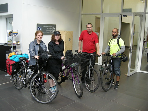
As part of the launch event for Ride (Birmingham – York) on Saturday the 14th of September, I will be cycling between Cannon Hill Park and the Bournville College campus at Longbridge.

As I cycle I will be collecting data and sending it to a sculpture in Bournville College. This data will then be ‘played back’ by the sculpture during the main launch event.

If you would like to join me on this leisurely 7 mile ride, read on…

The Logistics

The ride will be led by BikeRight! West Midlands who are very kindly supporting the event as part of the Smart Network, Smarter Choices project

All are welcome – we’ll go at the pace of the slowest rider and there will be people making sure no-one gets left behind.

Meet near the bandstand in Cannon Hill Park for 9:30am. Click on the image above to view on Open Street Map. There will be Park Run happening at the same time, so please ensure you give yourself plenty of time and please be mindful of the other people using the park.

You must be riding a road-worthy cycle in order to join the ride, as well as taking responsibility for the safety of yourself and others around you (through considerate behaviour and following the rules of the road).

BikeRight! staff will be near the bandstand from 9am in order to give your bike a quick safety check in case there is anything you are unsure about. If you do not have access to a roadworthy machine, BikeRight! have a limited number of bikes they can lend people for the ride. If you would like to borrow one of these, it must be agreed in advance – send an email to info2@bikeright.co.uk with ‘Nikki Pugh Led Ride’ in the subject.

Please make sure you have a lock to secure your cycle whilst you are inside the college.

There will not be an organised ride back from the event at Longbridge, so please make your own plans for returning home (especially important if you have borrowed a bike to get there!). There is a train station very close to the college or you can re-trace the route back to Cannon Hill Park.

There is free car-parking at Cannon Hill Park, or it is on National Cycle Route number 5 if you are cycling over from the city centre.

The Route

We will follow National Cycle Route 5 along the River Rea to Stirchley and then through Kings Norton and Northfield.

The route is about 7 miles long and mostly off-road on shared paths.
There is also a short section along a canal towpath.

The surface is not always great, and may not be suitable for road bikes with skinny tyres.

A gpx file of the route is available for download here, or you can view it on BikeHike here.

That’s it!

Let me know if you have any queries and I’ll do my best to answer them.

In short though, it’ll be a relaxed ride along a quiet route that all are welcome to take part in. If you’d rather not take part in the ride that’s fine – we’ll see you at Bournville College and you’ll still be allowed some cake!

Ride (Birmingham – York)

During the week beginning the 16th of September I will be cycling over 200 miles to York as part of my new project Ride (Birmingham – York), a commission by VINYL. (Related blog posts.)

As I cycle, I will transmit data back to a sculpture being exhibited in the foyer of Bournville College. In turn, this sculpture will change shape, colour and movement in response to the data in order to convey something of the effort being exerted on the other end.

The sculpture will be on show at the Bournville College campus in Longbridge [B31 2AJ] between the 16th and 21st of September.
Entrance is free, just introduce yourself at the front desk for a visitor’s pass.

Monday – Thursday 10:30am – 9:30pm
Friday 10:30am – 4:30pm
Saturday 10:30am – 12:30pm

Launch event:

To mark the beginning of the exhibition, there will be a launch event 10:30am-12:30pm at Bournville College on Saturday the 14th of September. Do join us for cake and a special preview of the the automaton that will be echoing Nikki’s journey to York.

On the morning of the launch event, Nikki will be cycling from Cannon Hill Park to the college campus at Longbridge. Data from this ride will be ‘played back’ via the sculpture during the launch event.

If you would like to accompany me for the leisurely 7 mile bike ride between Cannon Hill Park and the College’s campus in Longbridge, please see this page for more details.

Support:

Ride (Birmingham – York) has been commissioned by VINYL and supported using public funding by Arts Council England.

In addition to this, the project would not have been possible without the generosity and support of many different people. In particular, I would like to thank:

  • Jez Higgins and Mike Cummins for building the mobile app and database system that power the sculpture.
  • Garmin Europe Ltd for the donation of a GPS device and mapping to use for navigation whilst on the ride.
  • BikeRight! West Midlands for supporting the ride for the launch event.
  • Bournville College for hosting the sculpture.
  • Kim Wall for accompanying me on the ride to York, and all the many people in various cycling groups and fora who have one way or another helped me to do this.


Copyright and permissions:

General blog contents released under a Creative Commons by-nc-sa license. Artworks and other projects copyright Nicola Pugh 2003-2026, all rights reserved.
If in doubt, ask.
The theme used on this WordPress-powered site started off life as Modern Clix, by Rodrigo Galindez.

RSS Feed.