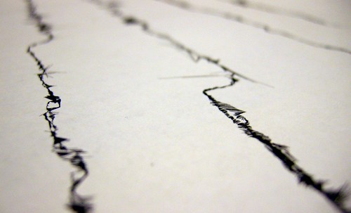
Manhattan in cross-section
For the last few weeks I’ve been walking across Manhattan from East coast to West and back again gathering GPS data.
I’m interested in how the land use (and therefore the effect on the GPS) varies as you move inland, gradually moving into more affluent areas, then the open space of Central Park, then out to the coast again.
As I repeat the process for different streets, I also get a sense of the change in landscape as I move further North: Midtown East becomes the Upper East Side becomes East Harlem; Midtown West becomes the Upper West Side becomes Morningside Heights.
I’ve recently reached the stage where I’ve been able to get the traces printed out and it’s interesting to see the ghosts of the city in the lines.
I’m looking forward to getting back home and being able to print them out full-size to enjoy and explore in more detail.


