This post was originally published over on the By Duddon’s Side project blog: http://byduddonsside.wordpress.com
~~~
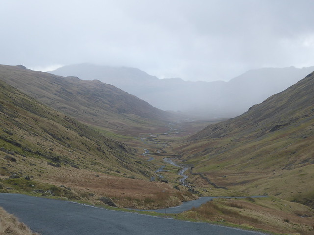
Having successfully driven over Wrynose Pass, my plan was to then get out of the car and do a bit of walking. Online, I’d found a short circular walk that included climbing to the top of Harter Fell, where I’d also read the views could be great. Whilst I wasn’t sure I’d have a clear view, I thought I’d give it a try and, if I could , then that would be a great way of getting a sense of the valley.
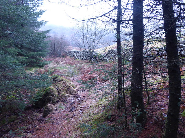
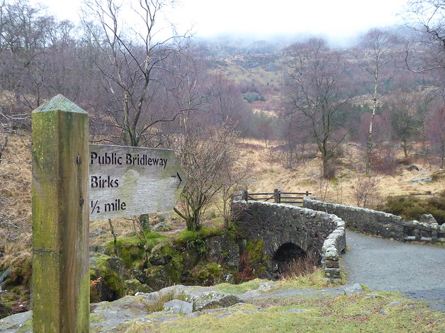
Starting from the carpark near Birks Bridge, I negotiated some boggy ground before entering what the walk’s author had described as ‘desolate forest’. It was an uncannily good description. The photo below doesn’t really convey the feeling of it, but perhaps you get an inkling.
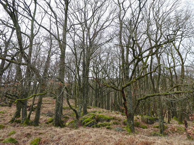
Hardknott forest is currently being restored from a conifer plantation to “native habitats of oak and birch woodland, bogs and open ground”. Well, I’d already found the bog, maybe the desolation was also by design?
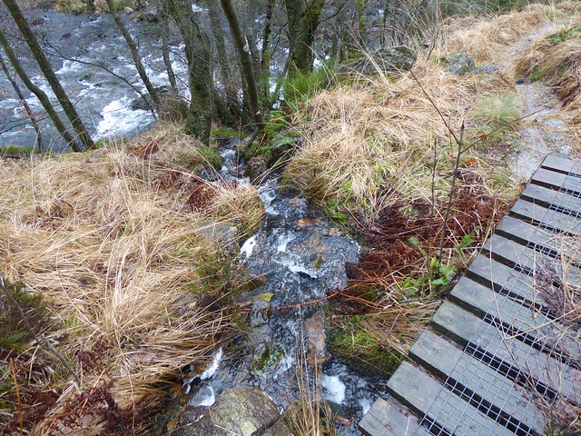
Riding up out of the forest at Birks, I relocated the bridleway and, it turns out, lots more bogginess. There was a lot of water running off the fell, and in some places the track I was following was indistinguishable from a stream bed.
As I got higher, the way became harder to spot and, with the arrival of some rain showers, also quite slippery.
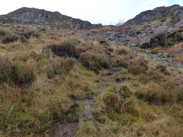
I weighed my options and decided that it was probably best for me to cut my losses, turn around and head back down into the valley.
A couple of quick photos whilst perched on a rock, and then the rain started in earnest and I had to find a relatively flat spot on which to wrestle on my waterproof trousers!
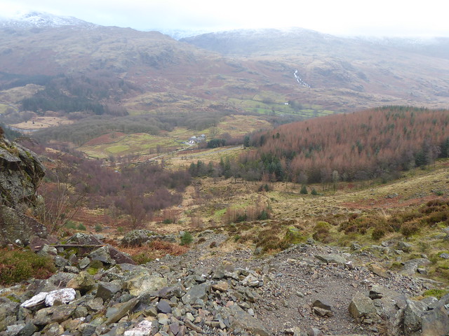
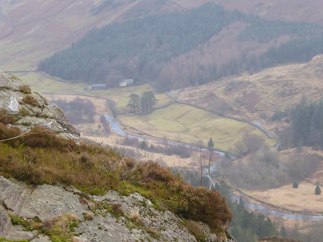
This is as far as I made it before turning back (the blue line shows my track and the yellow line was the rough route I was hoping to follow):

I think that means I made it onto Mart Crags, but not really anywhere near the top of Harter Fell. Oh well.
Having done a bit more reading online since, I think if I tried it again I would use the more southerly route that I had intended to use for my descent. There’s a nice write up of this alternative route here, with some lovely photos taken on a gorgeously clear day.
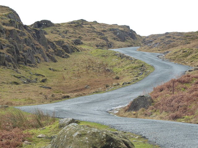
After returning to Birks I veered off to the right rather than retracing my steps back to the car. I wasn’t sure what to expect by this stage, but hopefully it would be a bit drier!
After a going over some fields and a little bit – but not too much – squelch, the bridleway nipped over a stone wall and suddenly I was following a nice wooded track.
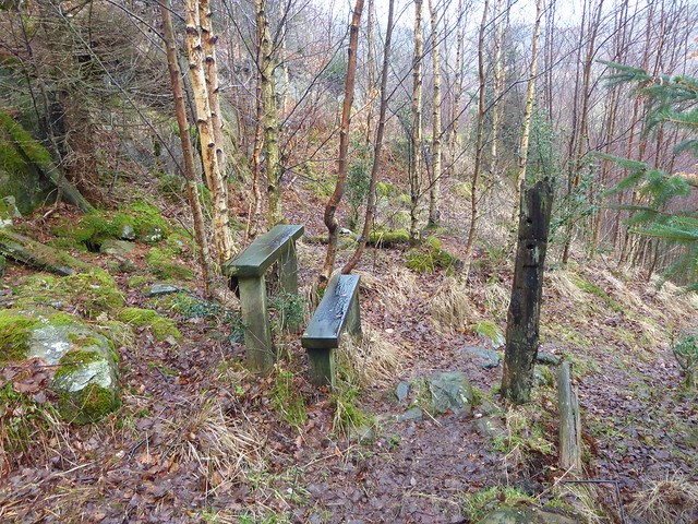
I really liked this stile without an obstacle that looked a bit like some odd seating arrangements or some sort of minimalist sculpture.
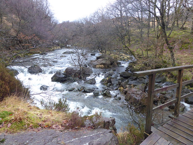
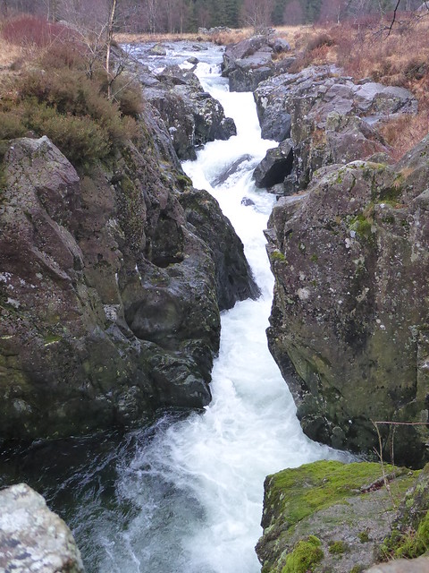
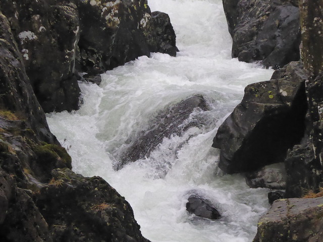
Descending further down into the valley I increasingly became aware of the sound of pounding water. Ah! I must be getting close to the Duddon again!
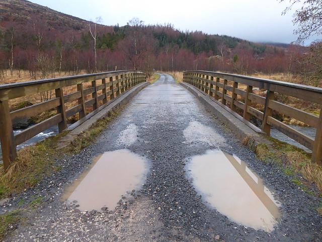
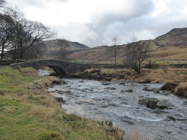
The path took me close to the edge of a steep drop which I was reluctant to approach any closer, so I listened to the river for a while longer without being able to see it. Rounding a corner there was this dinky little bridge and Duddon itself. Now I could understand what all the noise was about!
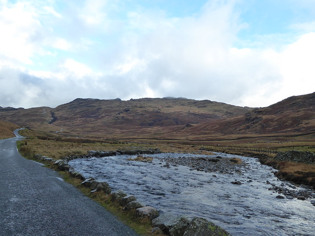
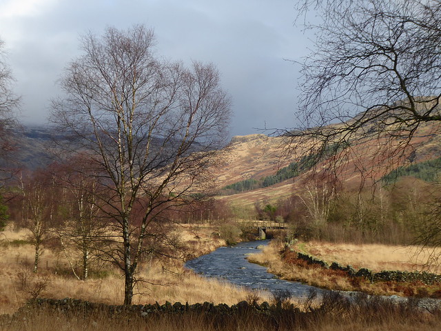
Crossing at the wooden (and very slippery) footbridge, I regained the tarmac’d road and made my way back to the car park, stopping off every so often to take a few photos.
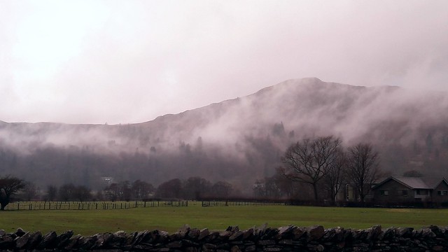
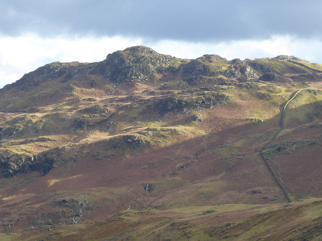
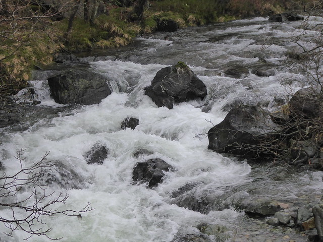
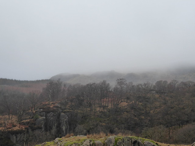
Here’s one looking back up at the summit of Harter Fell. (Or where the summit should have been.) Probably just as well I didn’t push on for the top, as I don’t think I’d have seen much….
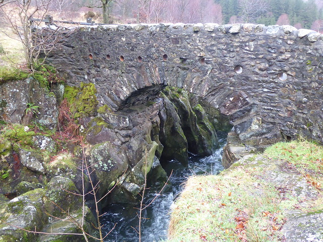 I had very mixed feeling about this. Yes, it’s very picturesque, but as an artist I feel I should work a bit harder to look a little beyond the obvious. Then it struck me. All our photos seem to focus in on the river, but what about if we pay attention to what’s happening perpendicular to this? What happens if we instead think of the thoroughfares that the bridges were built to transport over the water? Suddenly the bridge looked very different!
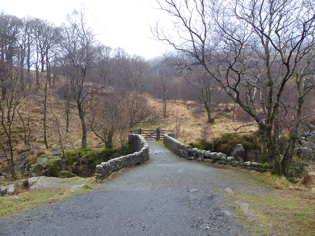
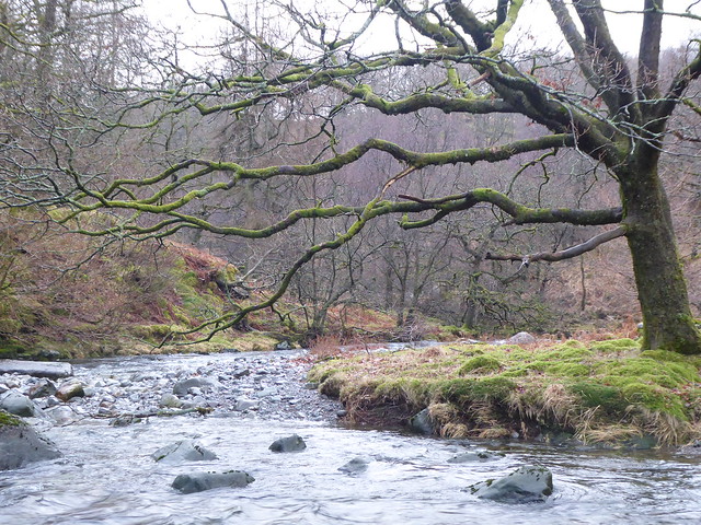
 I was still mulling over this shift in viewpoint when I arrived back at the more modern Birks Bridge.